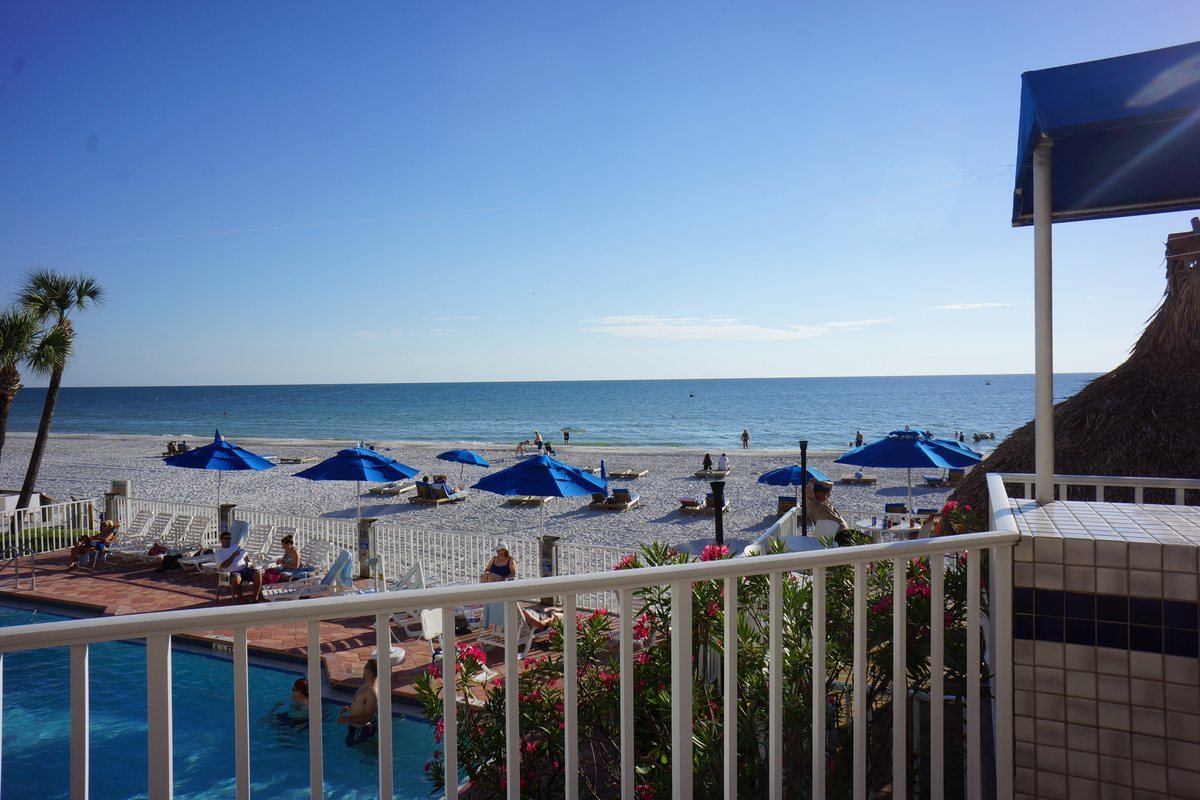
Marinas we dive
Largo Intercoastal Marina, and the water it lives in.
IntracoastalPinellasSheltered channel
Marinas we dive
The water
Largo sits inland of the barrier islands, on the sheltered corridor that was stitched together out of separate back-bay reaches during the twentieth century.
The county around it is older. Fort Harrison opened on Clear Water Harbor in 1841, the first public school in 1855, and the first post office in 1859.
Constant wake action on a through-route works the waterline harder than quiet water does, which shows up as boot-stripe wear over time.
At 4.8 miles in from Clearwater Pass, the flushing has largely spent itself. What grows here is soft, and soft growth is forgiving until it isn't.
Largo Intercoastal Marina, LargoLargo Intercoastal Marina lies about 4.8 miles from Clearwater Pass, with John's Pass roughly 7.9 miles off. It sits back from the inlet, and that distance is the single best predictor of how fast a hull fouls here.
At this distance the tidal push has largely spent itself. Water warms, turnover slows, and the balance shifts toward soft growth — slime and grass rather than heavy shell.
A private marina with a settled fleet gives us the most useful thing possible: the same hulls over time, so the cadence gets sharper with every visit.
Timeline
The army opens a post on Clear Water Harbor as a rest station for soldiers from Fort Brooke.
A Category 4 hurricane floods the peninsula and destroys the year-old Egmont Key lighthouse.
Pinellas County's first public school opens on land donated by John Taylor.
Clear Water Harbor becomes the first established settlement on the peninsula and receives the first post office.
The Orange Belt Railway ties the peninsula's settlements to the wider state.
The Tampa Bay storm reshapes the barrier islands and the channels behind them.
Dredging links the back-bay reaches into a continuous sheltered waterway along the county's Gulf side.
Protected, moving, busy — a working corridor rather than a basin.
Things worth knowing
Distance to the nearest inlet is the strongest single predictor of fouling rate. At 4.8 miles from Clearwater Pass, with John's Pass a further 7.9 miles off, this berth sits at the edge of it.
On the Intracoastal at Largo. Largo, on the Intracoastal Waterway, 4.8 miles inside Clearwater Pass — well within our regular run.
Growth in Pinellas is not linear, and at 4.8 miles in the seasonal swing is pronounced but predictable. A cadence set for August will be wrong in January.
Bare metal fouls faster than painted surface everywhere on this coast, and even in slow water it leads the hull. Props, shafts and struts usually signal the timing before the paint does.
Manatees, dolphins and grass beds share the Intracoastal Waterway. Method matters as much as schedule — media matched to the paint, and nothing scoured into the bottom.
With 141 reviews it is one of the quieter entries on our list — smaller fleets tend to mean more stable, more predictable fouling.
From the diver
Channel water sits between the extremes — protected enough to stay warm, moving enough to keep flushing. Growth is mixed rather than dominated by one thing.
Constant wake action works the waterline harder than a quiet basin does, which shows up as boot-stripe wear over time.
Mixed fouling rewards a look before a plan. What the hull actually carries here varies more boat to boat than in a single-character basin.
Gallery


We dive the Intracoastal Waterway and know how it behaves through the season. Tell us the boat and the slip and we'll send a number and a cadence that fits the water it actually sits in.